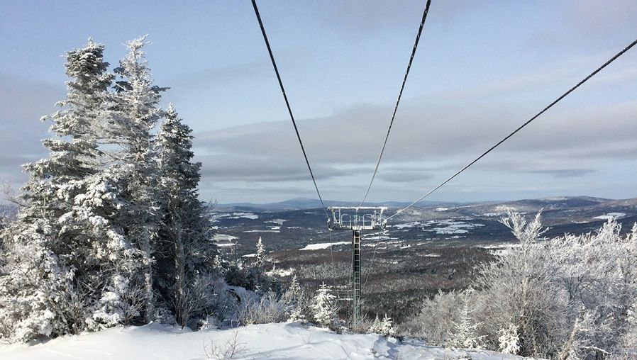
Although it was a bust of a winter for the most part, the pattern change at the end of March has brought winter back, and another big storm is on its way!
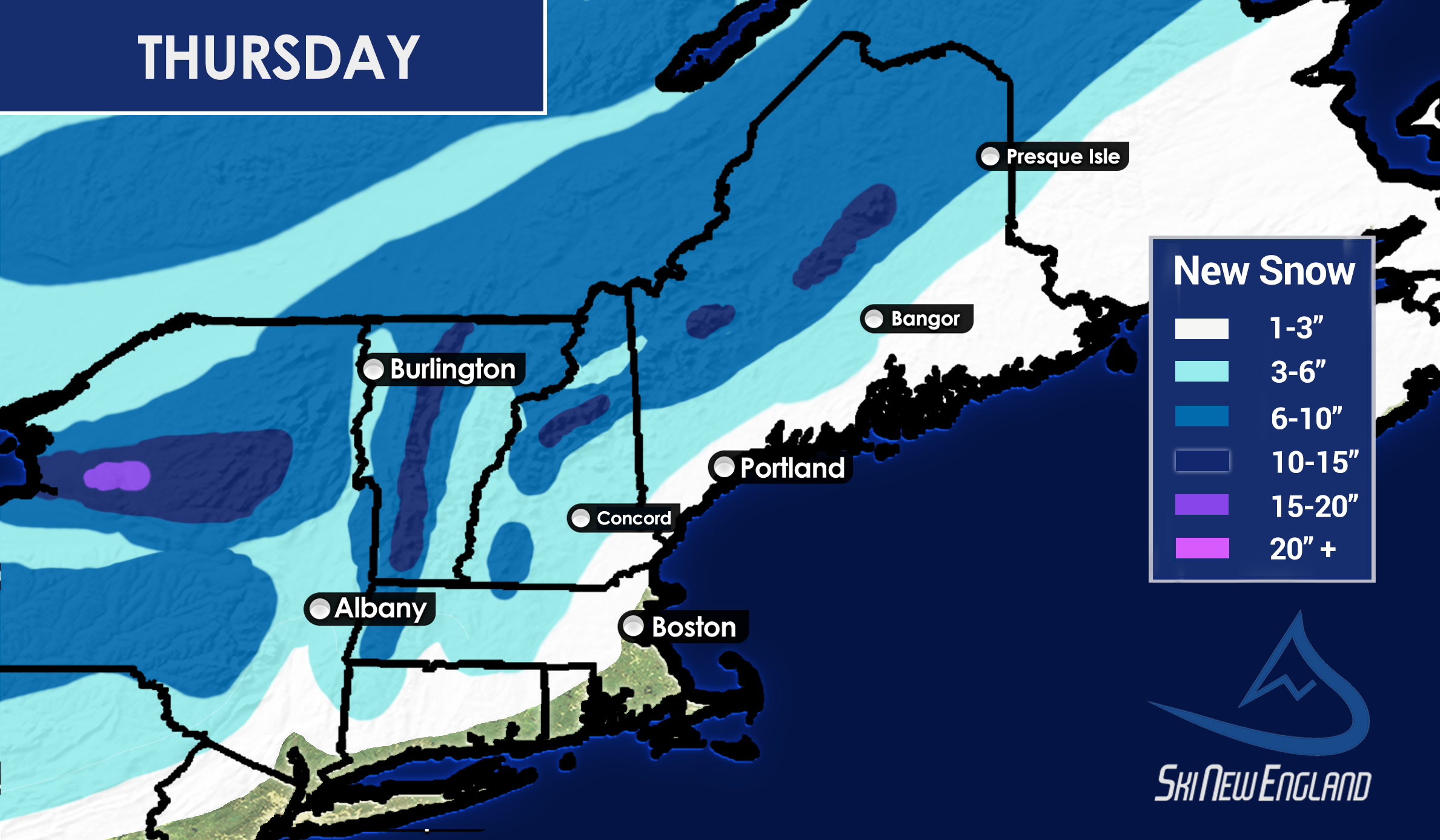
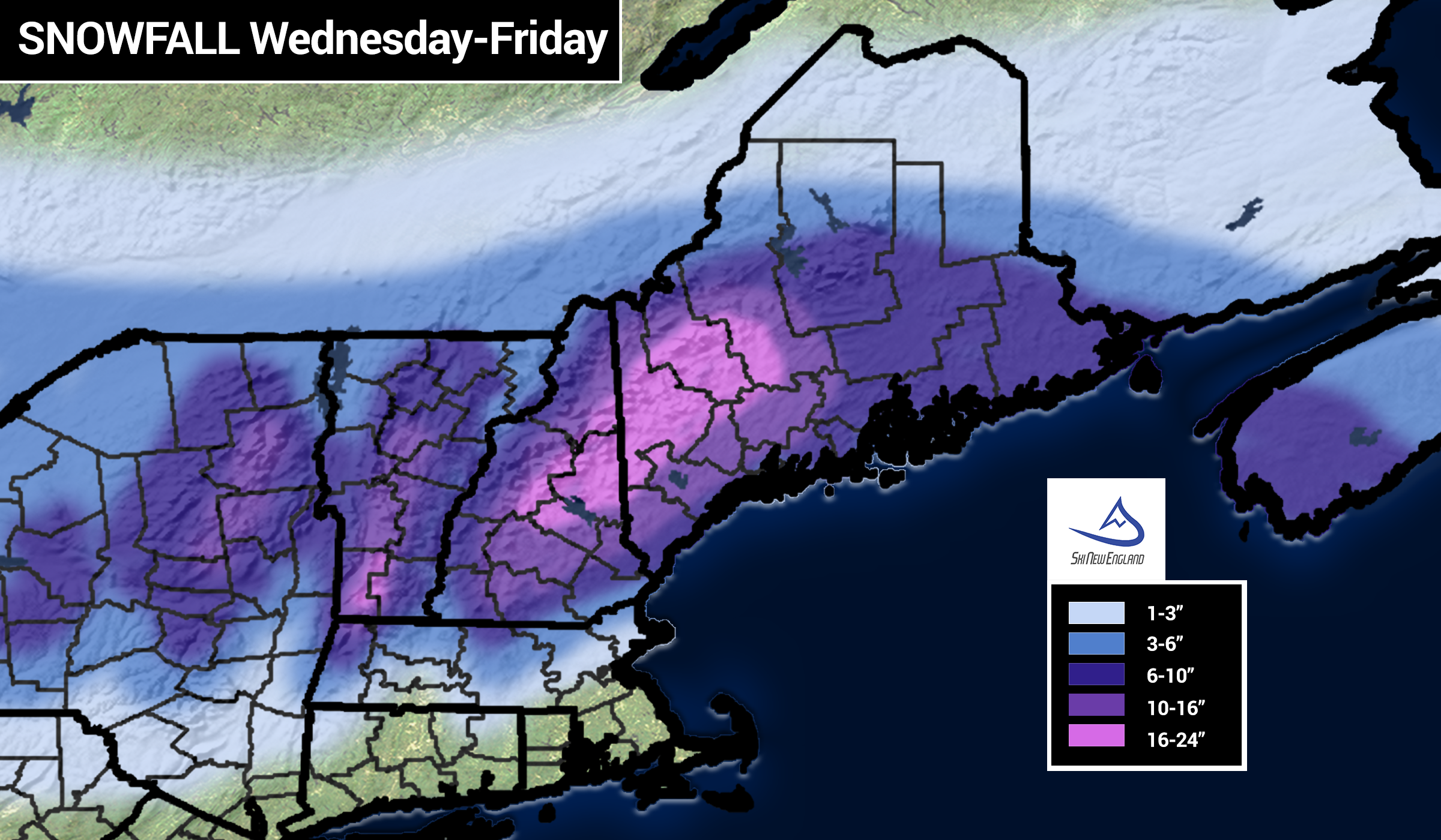
A large low pressure system will move from the Great Lakes and redevelop off the coast of New England overnight tomorrow night and into Thursday.

Winter Storm Warnings are already out for most of Central and Northern New England, with the expectation of significant snowfall in these areas.
Initially there may be a little rain, especially for Southern New England, but then the storm quickly taps into cold air, and the snow will come down heavy.

Over a foot of snow is likely from the spine of the Green Mountains all the way to northwest Maine, where some resorts could see up to 2 feet of snow. There may even be an isolated area or two above 2 feet!

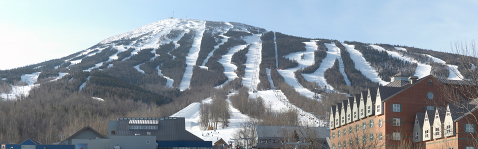
Some of the ski resorts in the jackpot zone are Attitash, Loon, Pleasant Mountain, Saddleback, Sugarloaf, Sunday River, Waterville Valley, and Wildcat.
Just outside the zone, Cannon, Bretton Woods, Gunstock, Ragged, and Sunapee are also expected to receive big snow totals.
The spine of the Green Mountains is expected to see slightly lesser amounts, but over a foot of snow is still likely there with maybe one or two places getting close to 2 feet.
Although it is a bit late in the season we’ll certainly take the snow and look forward to an extension of Spring skiing through the month of April.
Enjoy the snow! -A.J.